Live Tracking
Sub-Second Live Vehicle Tracking
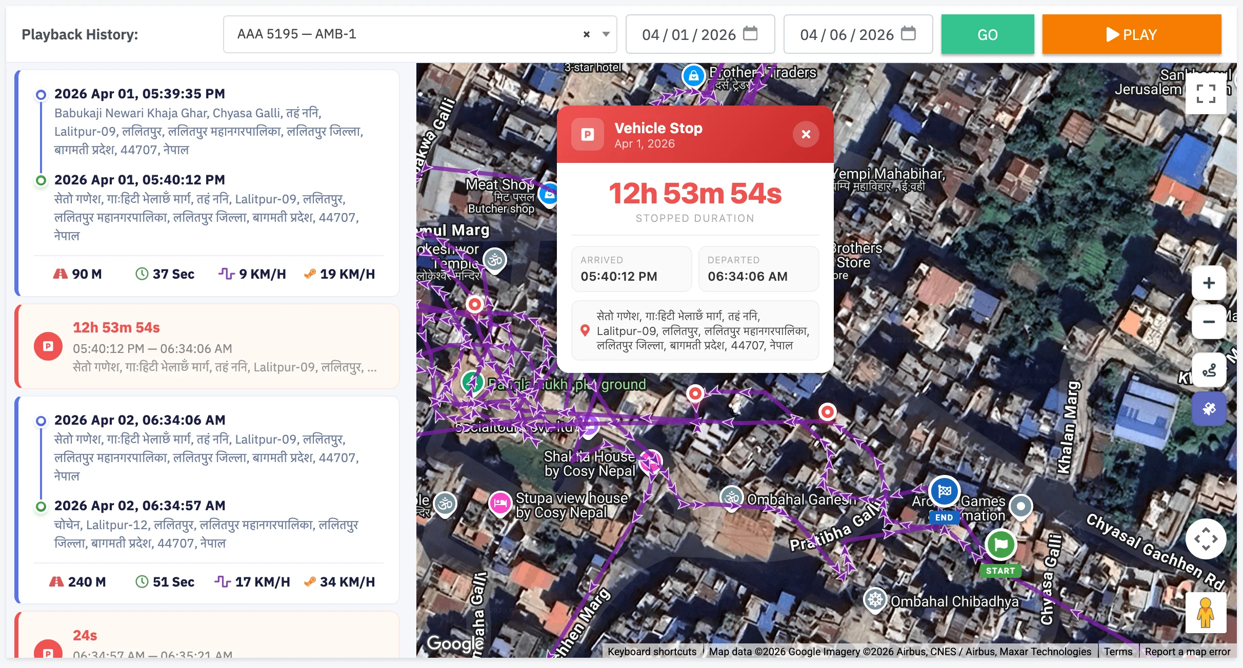
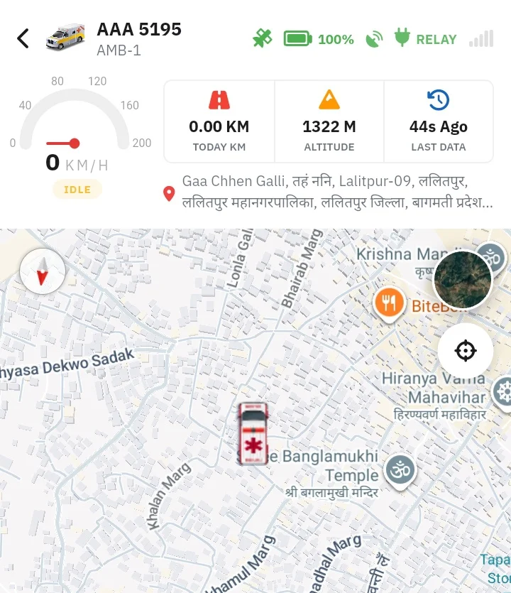
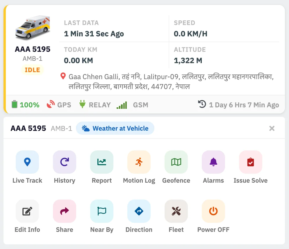
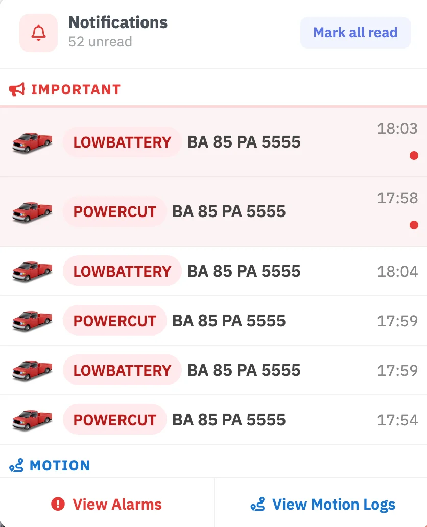
Position updates delivered to dashboard within 5 seconds via encrypted WebSocket. Track speed, altitude, heading, satellite count, GSM signal, and daily distance — across all of Nepal.
<5s position updates via encrypted live connection
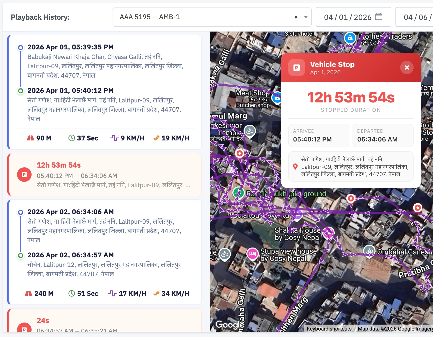
Google Maps — Normal, Satellite & Hybrid views
Speed-coded polyline trail — overspeed zones in red
Bearing-based direction indicator on vehicle marker
Live info panel: speed, altitude, battery, satellites
REST API access for corporate fleet integrations
LBS + WiFi triangulation fallback in low-GPS areas
Multi-user access with role-based permissions
Remote fuel & engine cut-off from live tracking screen